Navigation: Land Survey > Stations
Draw stations
Purpose
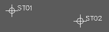
To draw survey stations from a station file. Stations are represented as ST1 blocks with Level, ID and Code attributes.
Operation
Select the station file, enter the nominal scale, Return to draw on the Stations layer or enter alternative.