|
<< Click to Display Table of Contents >> Create model |
  
|
|
<< Click to Display Table of Contents >> Create model |
  
|
Ground Models can be created from a range of 3D drawing entities and co-ordinate files.

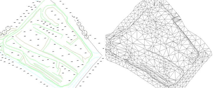
Example of survey drawing comprising a mixture of spot levels and 3D Polylines on the left with model triangles shown on the right