|
<< Click to Display Table of Contents >> Draw Boundary |
  
|
|
<< Click to Display Table of Contents >> Draw Boundary |
  
|
Purpose
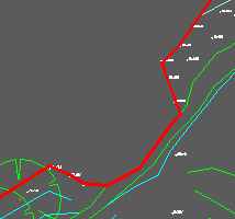
To draw a closed 2D Polyline to enclose the site boundary that will be used to set triangles whose centroids are outside to be passive. Do not include arc elements or curve fit this Polyline.
Operation
Return to accept default layer or enter alternative. This is now the CAD Polyline command – trace around the site edge and/or triangle centroids to enclose concave areas. Note that you only need to follow the site edge closely for the concave areas.

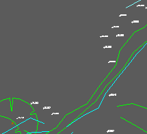
Extract from survey drawing

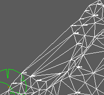
Model triangles including those over the concave area that was not surveyed

Boundary drawn as closed 2D Polyline in red