Purpose
To help locate the pond vertically on the site ground model (after the previous stages the 3D Polylines are all relative to the water at a level of 0.000).
Operation
Select all the 3D Polylines representing the pond.
Select the model (e.g. existing site).
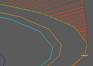
The pond is shifted vertically as fixed by the lowest point found on the model along the outer/higher 3D Polyline.
Use Ground Modelling, Embankments to complete the “hole in the ground”.

3D view showing Point at lowest location and cut embankments