|
<< Click to Display Table of Contents >> Grid |
  
|
|
<< Click to Display Table of Contents >> Grid |
  
|
Purpose
To generate a level grid from levels interpolated over an area of coverage defined by an "L" shaped 2D Polyline. This can also provide a useful way to present cut and fill values if using a difference model.
Operation
With Ortho "on" draw a 2D Polyline from the top, bottom left to bottom right. Locate this to fix the area to be covered and rotate if required. Select the model, pick the "L" shaped 2D Polyline, Return to accept the default PL block to be used, enter "Y" to fix block orientation from the Polyline, enter layer, grid interval or spacing and nominal scale.

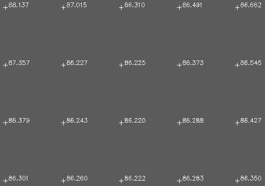
Grid of interpolated levels

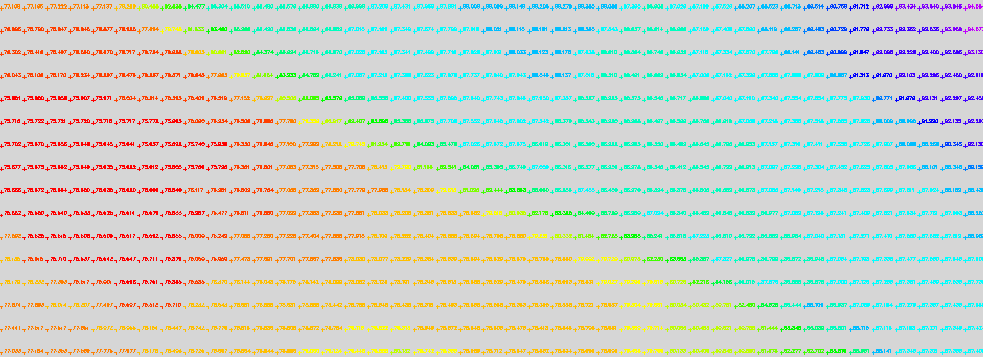
Grid of interpolated levels after using menu item 3D utilities, Entity colour by Z value